Telescope Peak.
Trip Report by site editor Rick McCharles.
Want to see the highest and lowest elevations in the continental USA from one vantage?

Telescope Peak is the highest point within Death Valley National Park, in the US state of California. It is also the highest point of the Panamint Range, and lies in Inyo County. From atop this desert mountain one can see for over one hundred miles in many directions, including west to Mount Whitney, and east to Charleston Peak. The mountain was named for the great distance visible from the summit.
Telescope Peak is also notable for having one of the greatest vertical rises above local terrain of any mountain in the contiguous United States. Its summit rises 11,331 feet (3,478 m) above the floor of Death Valley (Badwater, -282 ft/-86 m) in about 15 miles (24 km), and about 10,000 feet (3,050 m) above the floor of Panamint Valley in about 8 miles (13 km). …
Hiking Telescope Peak by the normal route involves a 14 mile (23 km) round trip hike. The trail starts in the cool western part of Death Valley National Park at Mahogany Flat campground. The trail slowly winds itself up to the summit 7 miles (11 km) later at a steady gradient of roughly 8%. …
This superb, popular hike starts a few miles past the famed Charcoal Kilns.

The beehive shaped kilns were built in the 1870s to make charcoal for local mines. Here is the start of the Wildrose Peak Trail, a good alternative to Telescope.
Though often called “challenging”, I found this hike surprisingly easy. Weather is a big factor. And I tented one night rather than doing the entire big trip in one day as most do.

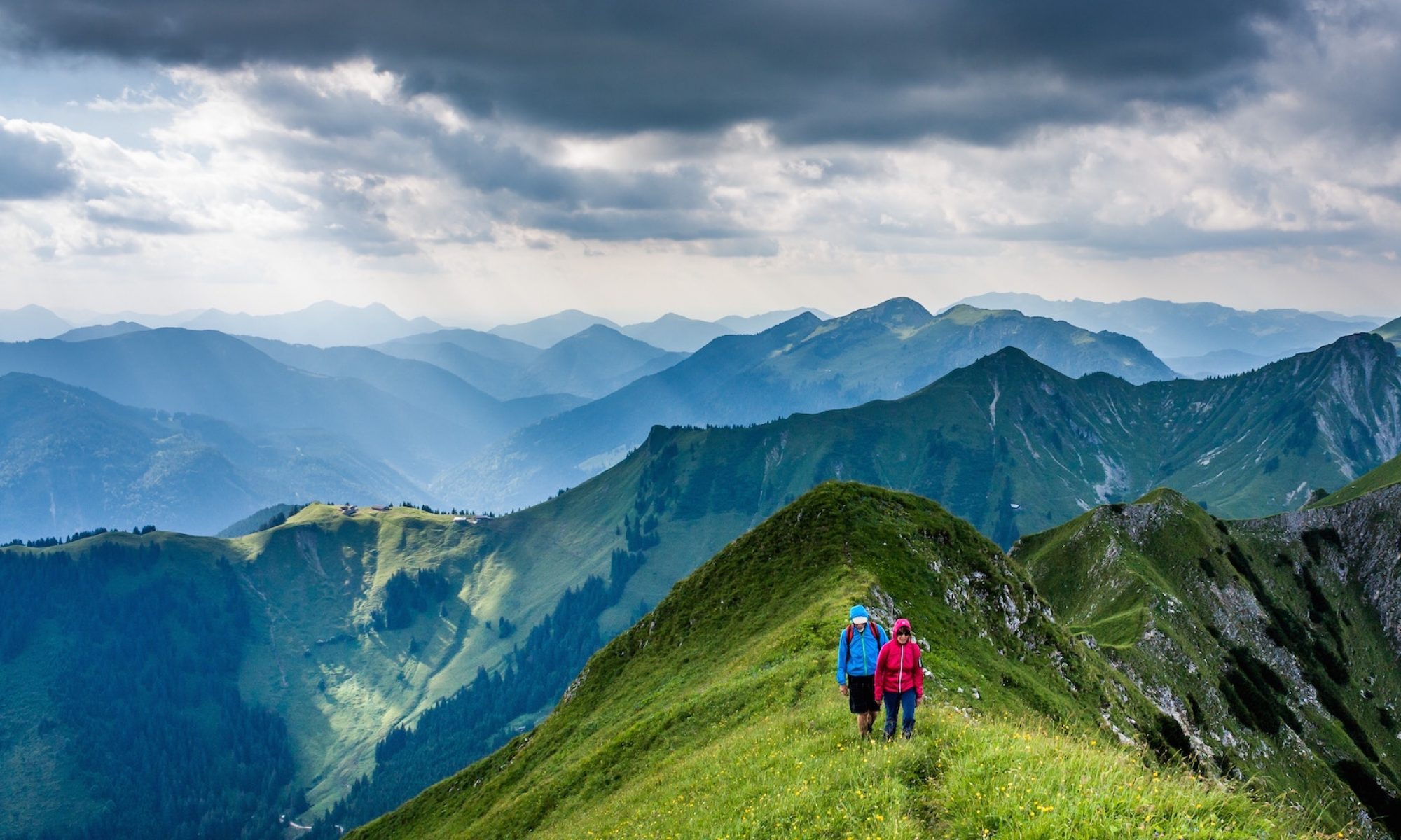
There are some pretty, rolling miles along a ridge walk. Some hikers do not make it to the top due to feeling ill effects from the 3000ft climb.
The lush high alpine contrasts starkly with bleak Death Valley below.

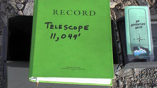
At the peak I found an impressive summit box. To the many souvenirs and prizes that had been contributed, I added a Summit Stone on behalf of artist DSD.

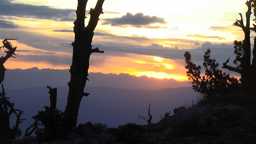
Here’s the sunset view from my campsite.

It’s normally snowed in between November and May. You can still hike, but bring crampons.
No hiking permit required. In fact, if driving in from Lone Pine, California in the Sierras, you won’t even be able to buy a Park Pass ($20 for 7-days) which is supposedly required to hike Telescope. This mountain is on the very edge of the Park.
Tom Harrison Maps are available. And several good guidebooks. But this hike is very straight forward. If you can find your way to the trailhead by personal vehicle, you won’t get lost on the trail.
See all my annotated photos from this highly recommended adventure.
=== Sound too easy? Consider this extreme alternative:
… An established, but more advanced, climbing route is from Shorty’s Well (elevation around -250′) to Telescope Peak. This provides a net gain of elevation of roughly 11,300 ft (3,400 m) The route follows Hanaupah Canyon for over 10 miles (16 km) until Hanaupah Springs is reached. This route can be done in one day by experienced hikers, and has one of the largest elevation gains that can be gained up a single summit. …
Wikipedia – Telescope Peak
One group did this in 12hrs earlier this season.


Hi Rick,
What a wonderful summit and a great adventure!
Thank you so very much for passing forward some of the karama of it all…
That is an amazing register, and I especially like the sunset view…
DSD
Rick, I found your photoset on Flickr before your posting. Both have inspired me to plan a trip in the very near future! Thanks!
Rick, I’m happy to report that your summit rock is still there, as of June 28th. I’ll have a full trip report – including a thanks to you for the inspiration – on my site later this month.
Excellent. Looking forward to the trip report. … Just subscribed to your blog.
Where did you camp? I am planning this hike in March and would like to camp and summit around sunrise. Do you have any suggestions for this?
Most people park and tent at Mahogany Flat campground. At the trailhead.
I parked there, then hiked up a few hours, wild camping discretely in some trees before the final ascent.
That’s what I’d recommend you do, too.