trip report by site editor Rick McCharles
Kjós (‘Dell’)
Distance: 24 km
Walking time: 8 hrs.
 Skaftafell, is part of Vatnajökull, the largest National Park in Europe.
Skaftafell Visitor Centre is the most popular access. Indeed, this is the most popular campground in Iceland.
… OK, it’s EARLY in the season (June 13-14). The hordes have not yet arrived. It was closed 4 days not so long ago due to eruption of the Grímsvötn volcano, a fairly frequent occurrence, actually.
There are plenty of hiking & glacier walk options from this trailhead. Most are headed to Svartifoss.

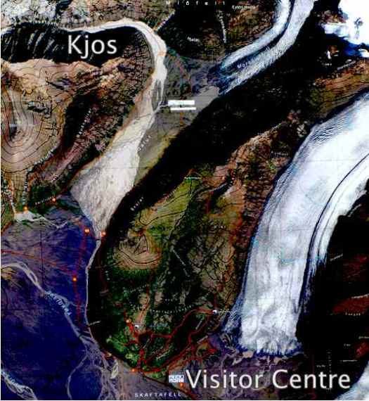
The only backcountry tenting allowed out of Skaftafell Visitor Centre is Kjos (see map below), at the start of an unusual glacial flood plain valley called Morsárdalur.
One of the bridges had been washed out, so I needed to go in-and-out to Kjos via the same ‘route’ (It’s not signed all the way.)
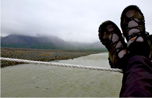
Here I’m taking the easiest Morsá river crossing.
Water crossings are the biggest challenge when hiking this island. I can see why Alastair Humphreys took a packraft on his crossing of Iceland, unsupported.
Aside from the route finding, Kjos is a pretty easy walk without much elevation gain.
There’s the campsite, just coming into view.
I set up here instead, under a rock overhang.
Instead of scrambling adjacent peaks, I relaxed in the tent. The weather was a continuous drizzle. Visibility was poor, anyway.
I was quite content listening to my audio book, The Girl Who Played with Fire.
This hike reminded me of similar walks towards glaciers in the Yukon. But a big difference here are the big, black desolate areas of volcanic ash. Stark and photogenic.
I’d love to do a long walk over the ash black wasteland one day. It would be like crossing salt flats.
See more photos from this hike on flickr.


